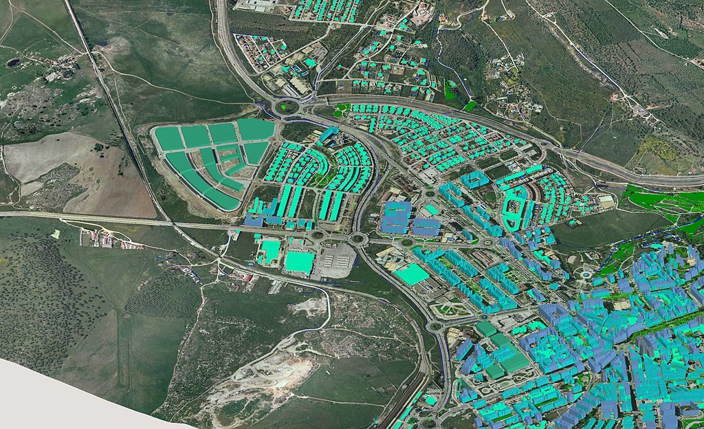
GIS Emergency Response System Evaluation
The primary responsibility of the Fire & EMS Operations/GIS Department is to provide comprehensive information on fire departments and fire-based EMS that assists in improving the safety and working conditions of IAFF members. The Department promotes appropriate staffing and deployment for fire suppression and the effectiveness of fire-based emergency medical services systems by providing local affiliates with the tools necessary to develop, enhance and protect their working conditions.
Department Function
- Addresses the concerns of local affiliates on various components of fire departments and EMS system operations, including staffing, deployment, transportation, equipment, communications, record keeping, public education, injury prevention and quality assurance.
- Provides customized assistance to local affiliates, including the processing of daily requests for printed or video materials; writing, evaluating or responding to request for proposals; and developing strategies to compete with private providers.
- Creates and maintains a reference library of fire/EMS operations materials, and assists the Department of Education in developing fire-based EMS educational materials.
- Assists with the planning and conducting of the IAFF John P. Redmond Symposium on the Occupational Health & Hazards of the Fire Service in conjunction with the Dominick F. Barbera Emergency Medical Services Conference.
- Supports IAFF research related to fire fighter safety.
Department Goals
- Provide project-specific technical assistance to local affiliates (as provided for under the Custom Technical Assistance Policy) seeking to reconfigure, absorb EMS services, change staffing, or change station location, inclusive of GIS mapping.
- Handle project development, maintenance and support of the GIS mapping program (ArcView).
- Work with the Labor Issues/Collective Bargaining Department to develop strategies for supporting the collective bargaining process as it pertains to EMS providers and, under the direction of the General President, develop position papers promoting the fire-based EMS concept.
- Act in coordination with other IAFF departments to educate federal, state and local government agencies on EMS-related issues. Additionally, the department will work cooperatively to seek clarification of laws pertaining to the public provision of EMS, and seek state and national policy to protect fire-based systems.
- Develop customized presentations for local affiliates pertaining to technical assistance provided.
- Write articles for IAFF publications and provide consultation for media efforts concerning fire and EMS operational issues. See the Fire & EMS Operations/GIS Current Events page.
- Collect and maintain information covering various types of fire departments and EMS systems. Identify and plan for trends in the industry that impact fire fighter wages, working conditions, pensions and job security. This information will be used in conjunction with customized technical assistance.
- Survey, handle data entry and maintain IAFF databases on technical information and data for researching and responding to local affiliate requests. These databases include the contract database, the economic database, the Death & Injury (D&I) Survey database and the Phoenix Survey. The D&I database will be handled in coordination with the Department of Health & Safety.